Wales Weather Update: New Year Brings Cold Conditions with Snow and Ice Advisory As we usher in the New Year, Wales is experiencing a brisk start with a weather warning issued for snow and ice. This advisory highlights the possibility of travel disruptions as conditions become challenging. Stay informed and prepare for potential impacts on your travel plans.
As the New Year begins, Wales is bracing for a notable drop in temperatures, accompanied by forecasts of snow and ice. The Met Office has issued a yellow weather warning affecting 15 regions across the country. This alert is vital for residents and travelers, as it signals the potential for travel disruptions and increased risk of injuries due to icy conditions.
Details of the weather alert
Starting at midnight on January 2, the weather warning will remain in effect until midday. During this time, forecasts suggest that snow flurries may last for two to three hours, leading to an estimated accumulation of up to 5 centimeters in certain areas.
While northern Wales is expected to experience the most significant snowfall, other regions may see lighter accumulations of approximately 1 to 2 centimeters.
Regions affected by the snow and ice warning
The yellow warning is currently in effect for several areas, including Blaenau Gwent, Caerphilly, Cardiff, Carmarthenshire, Ceredigion, Conwy, Denbighshire, Flintshire, Gwynedd, Merthyr Tydfil, Monmouthshire, Newport, Powys, Rhondda Cynon Taf, Torfaen, and Wrexham.
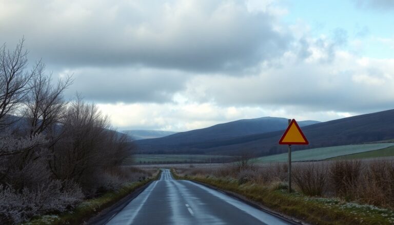
Residents in these areas are advised to prepare for potential travel disruptions due to the impending weather conditions.
Expected weather patterns throughout the day
Weather forecasts indicate snowy conditions developing throughout the morning. At 2 AM, residents in northern Wales may encounter patches of hail and snow, which are expected to move southward. By 4 AM, wintry precipitation will reach the mid and western regions. The southern areas are likely to remain dry until around 6 AM, when snow flurries are anticipated.
Timeline of snowfall
At 8 AM, many in northern Wales will awaken to snowy conditions, while those in southern areas may still see a mix of rain and hail. By 10 AM, weather conditions are expected to improve slightly, with only sporadic patches of rain, hail, or snow remaining in certain regions. The weather alert will officially end at midday; however, some areas may continue to experience light snow into the afternoon.
Precautions and advisories
According to the Met Office, there is a high likelihood of icy patches forming on untreated roads and pavements. This situation significantly increases the risk of slips and falls, making it essential for individuals to exercise caution while outdoors. Travelers should remain vigilant regarding road and railway journeys, as disruptions are expected due to the severe weather conditions.
Mark Sidaway, Deputy Chief Forecaster at the Met Office, emphasizes the importance of staying informed with the latest forecasts. He noted that this cold spell signifies a notable shift in weather patterns, driven by Arctic air moving over the UK. With the first snowfall of the season occurring, residents are encouraged to prepare adequately for the upcoming chilly days.
A weather warning for snow and ice has been issued for residents in Wales. With temperatures projected to stay below average, it is essential for the public to remain informed and exercise caution while navigating the wintry conditions.
