

A fresh amber wind warning hits Edinburgh on Tuesday, bringing gusts of up to 70 mph and widespread transport disruption after Storm Boelo.
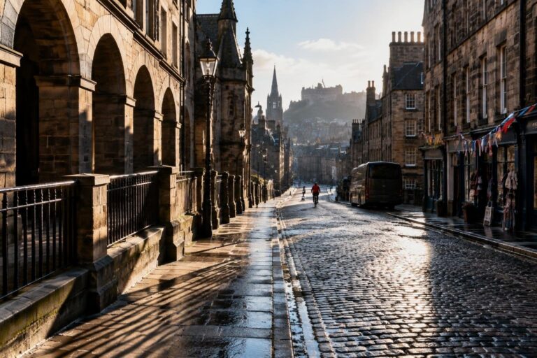
After a weekend battered by Storm Boelo, the Met Office issued a new amber-level wind warning for the Capital on Tuesday. The advisory, active from 3 am until 11.59 pm, predicts gusts between 50-60 mph across much of Scotland and the potential for isolated bursts surpassing 70 mph in exposed coastal zones.
During Saturday night and Sunday morning the storm generated a 24-hour, Scotland-wide amber warning, forcing the shutdown of several landmarks such as Edinburgh Castle and Saughton Winter Gardens. Despite the harsh conditions, the Scottish Premiership clash between Hibernian and Celtic proceeded, while thousands still converged on Comic Con Scotland at the Royal Highland Centre, though two headline guests experienced travel delays.
Transport and travel disruption
Both rail and air networks felt the impact of the gale. ScotRail announced extensive speed restrictions on all routes for Sunday, extending into Monday, and confirmed that the majority of services would return to a normal timetable after the weekend.
However, a series of line closures persisted:
- Glasgow Central – Ayr: no trains between Kilwinning and Ayr.
- Glasgow Central – Gourock and Wemyss Bay: altered services.
- Glasgow Queen Street – Oban / Mallaig: no trains between Fort William and Mallaig, and between Crianlarich and Oban.
- Inverness – Kyle of Lochalsh: no trains between Kyle of Lochalsh and Achnashellach.
- Inverness – Wick / Thurso: no trains between Helmsdale and Wick/Thurso.
Network Rail’s specialist weather team, led by Gary Hopkirk, carried out safety inspections throughout the weekend, clearing fallen trees and debris, and addressing flooding on the line. Hopkirk described the period as “a really challenging weekend” and thanked the public for their patience.
Air travel woes
Edinburgh Airport recorded 81 cancelled flights and 11 diversions since the amber warning began on Saturday. Pilots grappled with strong cross-winds while attempting landings, forcing an EasyJet service from Bristol and a Ryanair flight from Tiran to reroute to alternative airports. Enthusiastic plane-spotters gathered at the runway, watching aircraft battle the gusts.
Public venues and safety incidents
Beyond transport, the storm triggered several safety concerns. A large tree collapsed onto Roseburn Path, blocking the route and underscoring the danger of falling timber during high-velocity winds. In the Borders, the line between Gorebridge and surrounding areas reported “subsidence,” prompting a temporary closure on Saturday night.
Meanwhile, heavy rain combined with wind created localized flooding in Bathgate on Sunday morning, adding another layer of disruption for residents. Despite the challenges, major events such as the Hibernian-Celtic match and Comic Con proceeded, illustrating the resilience of the capital’s cultural calendar.
Forecasters warned that the strongest winds would shift from the southwest later on Tuesday, with northern Scotland being the last region to experience easing conditions. After the peak, clouds are expected to break, bringing a clearer outlook for the rest of the week.
