Master the art of reading geopolitical maps and gain a deeper understanding of global events
Geopolitical maps are a crucial tool for understanding global events and international relations. However, for beginners, these maps can be overwhelming and difficult to interpret. Projectionsdisputed bordersand trade routes are just a few of the key elements that need to be understood in order to grasp the complexities of geopolitical maps.
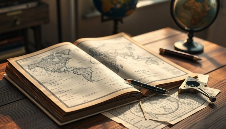
One of the most important aspects of geopolitical maps is the projection used to display the Earth’s surface. Different projections can distort or preserve certain features, such as shape, size, or distance. For example, the Mercator projection is commonly used for navigation, but it distorts the size of countries near the poles.
Understanding Disputed Borders
Disputed borders are a common feature of geopolitical maps and can be a source of tension between countries. These borders are often the result of historical conflicts or territorial claims. Understanding the context and history behind these disputes is essential for interpreting geopolitical maps accurately.
For instance, the Kashmir region is a disputed territory between India, Pakistan, and China. The border has been a source of conflict for decades, and understanding the complex history and claims of each country is crucial for grasping the geopolitical dynamics of the region.
Trade Routes and Energy Corridors
Trade routes and energy corridors are critical components of geopolitical maps, as they can significantly impact the economic and strategic interests of countries. Sea lanes and shipping routes are essential for international trade, while energy pipelines and corridors can be a source of tension and competition between nations.
The Bosphorus Strait is a prime example of a critical trade route, connecting the Black Sea to the Mediterranean Sea. The strait is a vital passage for oil tankers and cargo ships, and its control has been a source of competition between regional powers.
Free Tools and Map Layers
Fortunately, there are many free tools and map layers available that can help beginners learn to read and interpret geopolitical maps. Google Earth and OpenStreetMap are popular platforms that offer a range of map layers and tools for exploring and analyzing geopolitical data.
Additionally, websites like GeoNames and Natural Earth provide free access to geopolitical data and maps, allowing users to explore and learn about different regions and countries.
