

Intense storms, sudden cold and flash‑flood warnings sweep Italy, with orange alerts for Puglia and Basilicata.
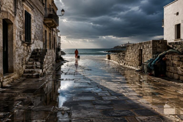
On 2 November a deepening cyclonic vortex entered the Italian peninsula from the southwest, delivering a mixture of torrential rain, violent thunderstorms and wind bursts that reached 100 km/h. The system originated over the Balkans and travelled towards the Tyrrhenian Sea, energising the atmosphere especially over the central-Adriatic and southern coasts.
The rapid development of the low produced a sharp temperature plunge, with daytime highs falling 3–4 °C below the climatological norm and snow appearing on slopes as low as 900 m.
Alert levels and regions at risk
The national Civil Protection agency activated warnings in seven regions.
An orange alert—the second-most severe level—was issued for Puglia and Basilicata, reflecting the combined threat of intense thunderstorms, hydro-geological instability and potential flash-flooding. A yellow alert was placed over Abruzzo, Molise, Campania, Calabria and Sicily, where heavy rain and localized landslide risk are possible.
These alerts were coordinated with regional authorities, who are responsible for mobilising local emergency services.
Rainfall intensity, wind and sea conditions
Models forecast accumulations of up to 100 mm within a 24-hour span on the southeastern side of the country, particularly over the Apennine foothills of Basilicata, Puglia and Molise. The so-called stau effect, created by the mountain barrier redirecting northeasterly flows, amplified precipitation rates, making 80–100 mm possible in those basins. Broad-scale rainfall of at least 50 mm is expected across a wider area, raising concerns about river overflows and urban flooding.
Wind patterns were equally dramatic. Gale-force northeasterly gusts—known locally as the Grecale—swept Lazio, Campania, Sicily, Basilicata and Puglia, with peak values near the 100 km/h mark. The strong offshore component left the Tyrrhenian, Sardinian and Sicilian channels described as “rough” or “very rough”, jeopardising maritime activities.
Cold snap, snow and temperature drop
Cold air advecting from northern Europe forced the snow line down to around 900–1 000 m across the Apennines of Emilia-Romagna, Marche, Abruzzo, Molise and inland Campania. In the Abruzzo highlands, the combination of snowfall and high winds could evolve into brief snowstorms. Further south, snow was limited to elevations above 1 800 m in Sicily and Calabria. Minimum temperatures in the north fell close to zero, especially in the western Po Valley of Piedmont where light frosts were reported.
Overall, the central and southern zones experienced a thermal dip of 3–4 °C relative to the seasonal average, while the northern regions saw a modest rebound in daytime sunshine, allowing maximums to climb despite the lingering chill.
Outlook for the next 48 hours
The vortex is expected to shift eastward on Tuesday, taking the bulk of its moisture away from the Italian mainland. Residual showers will linger over Puglia, Basilicata, Calabria and Sicily, likely ceasing by evening. The remainder of the country should enjoy clearer skies, with the north-west and Tyrrhenian sectors experiencing the most extensive sun exposure.
Wind intensity will gradually diminish, though isolated gusts may persist in exposed coastal strips. Daytime highs will recover, reaching 20–21 °C along the lower Tyrrhenian coast and on Sicily, while nighttime lows in the north will remain near the freezing point. The short-term evolution suggests a rapid relaxation of the most hazardous conditions, but authorities advise continued vigilance in the orange-alert zones until the system fully departs.
